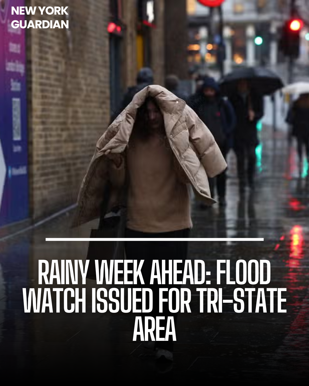
Following a brief respite from precipitation, the tri-state area is gearing up for a prolonged period of rainy weather, with limited sunshine until next week. Rain will return Wednesday afternoon, potentially intensifying into heavy downpours by Thursday.
A flood watch has been issued for a large portion of the region from Wednesday afternoon until early Thursday morning, and the evening commute is likely to be significantly impacted.
Flood Risk and Travel Advisory:
Areas east of New York City, particularly Long Island and parts of coastal Connecticut face the highest risk of flooding due to anticipated high rain totals.
New York City has issued a travel advisory for Wednesday into Thursday, cautioning commuters about potentially impassable flood-prone roads. While the primary flood threat is expected to diminish around midnight on Thursday, residual flooding may persist into the morning.
Continued Wet Weather and Wind Concerns:
Thursday will see continued wet and windy conditions, with isolated flooding a concern from Wednesday night onwards.
Friday offers a brief respite from the rain, but the ground will likely remain waterlogged from the preceding days. Weekend forecasts suggest further precipitation on both Saturday and Sunday, prolonging the period of inclement weather.
Rainfall Estimates and Temperature Outlook:
Up to 4 inches of rainfall are projected for various areas, including NYC, the lower Hudson Valley, the Jersey Shore, coastal Connecticut, and much of Long Island, by the end of the weekend.
New Jersey is expected to receive at least 2-3 inches of precipitation. Despite the rainy conditions, temperatures are forecasted to remain fairly warm, with highs in the mid-50s, eliminating the possibility of snow.
Outlook for Next Week:
Next week is expected to commence with gusty and chilly conditions, potentially reminiscent of January, before a warm-up is forecasted towards midweek.
Although Monday’s wind chills may evoke a wintry feel during the commute, weather conditions are anticipated to improve after that.


